Cartographic and Geographic Collection consists of more than 600 geographic atlases, 3.283 geographic maps, about 43,600 postcards. It preserves the oldest and most valuable atlas dating back from 1764. It is the first atlas of the Mediterranean, Carte de la mer Mediterranée, by the famous French hydrographer Joseph Raux. The oldest map in the Collection is Arabia et Arabicus Sinus, printed in Nuremberg in 1828 and the oldest map of Montenegro – Carta di Montenegro was published in 1860 in Vienna. The Map of Montenegro by Pavle Rovinski from 1889 is of great importance as well.
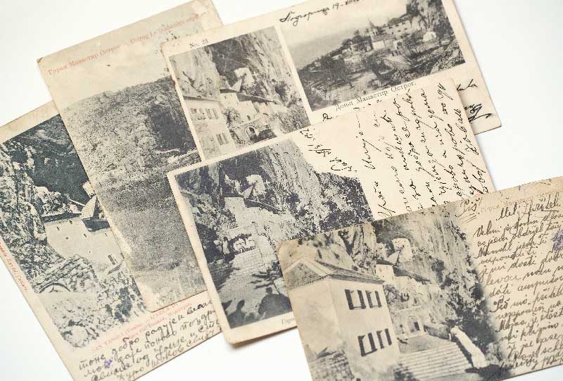
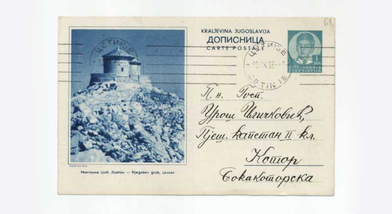
The interesting part of the Collection are postcards, of which the oldest ones are from the end of the nineteenth century and they may represent a very important material for the study of life of the citizens of Montenegro at that time. People that have written them have recorded impressions of the great European and world cities.
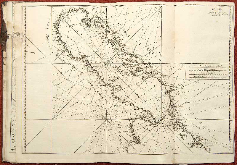
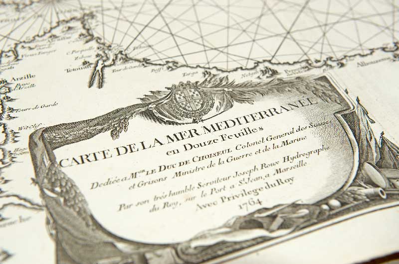


Cartographic and Geographic Collection consists of more than 600 geographic atlases, 3.283 geographic maps, about 43,600 postcards. It preserves the oldest and most valuable atlas dating back from 1764. It is the first atlas of the Mediterranean, Carte de la mer Mediterranée, by the famous French hydrographer Joseph Raux. The oldest map in the Collection is Arabia et Arabicus Sinus, printed in Nuremberg in 1828 and the oldest map of Montenegro – Carta di Montenegro was published in 1860 in Vienna. The Map of Montenegro by Pavle Rovinski from 1889 is of great importance as well.
The interesting part of the Collection are postcards, of which the oldest ones are from the end of the nineteenth century and they may represent a very important material for the study of life of the citizens of Montenegro at that time. People that have written them have recorded impressions of the great European and world cities.